Aiguille des Angroniettes to Col Ban Darrey, a circular walk from Arp Nouvaz

Edited by:
Giancarlo Beretta
Updated at: 09/09/2026
Access
Road directions
Leave the motorway at the Aosta Ovest junction and turn right onto the regional road towards the Cogne Valley. After 400m (0.4km), at the roundabout, take the second exit onto the state road , which you should follow for 32.4km (32.8km), passing through and driving past the villages of Saint-Pierre, Villeneuve, Arvier, Avise, Derby, La Salle, Morgex and Courmayeur, until you reach the exit for Larzey – Entrèves on the . Turn right onto the and follow it for 4.0 km (36.8 km) to Entrèves. Continue along Strada la Palud for 11.1 km (47.9 km), passing through La Palud, Planpincieux and Lavachey, until you reach the end of the road near Arp Nouvaz.
Car park
At the end of the road, after crossing the Dora di Ferret via a small wooden bridge, you’ll find the car park 🅿️ at the far end of the woodland. During the summer months (July and August), access is regulated: entry is normally permitted before 8.00 am until all available spaces are filled; after this time, a shuttle service is available, departing from La Palud. For up-to-date information, please consult the relevant section of the Courmayeur council website.
Access by public transport
To reach the route’s starting point, you will need a private vehicle. During the summer, a shuttle bus service 🚌 operates from La Palud; check timetables and availability on the Courmayeur municipal website.
Distance and journey time
🕒 Journey time: 57 minutes
📏 Distance: 47.9 km
GPS navigation
Important notice
The directions provided were verified on the date the route was mapped. Before setting off, we recommend checking for any changes to the route or road conditions. For up-to-date information, please consult Google Maps or Apple Maps.
Introduction
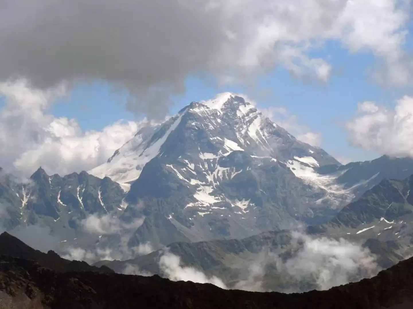
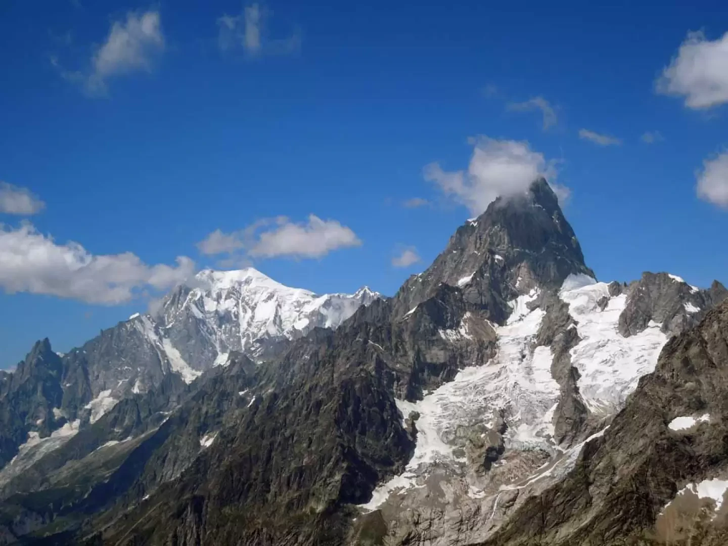
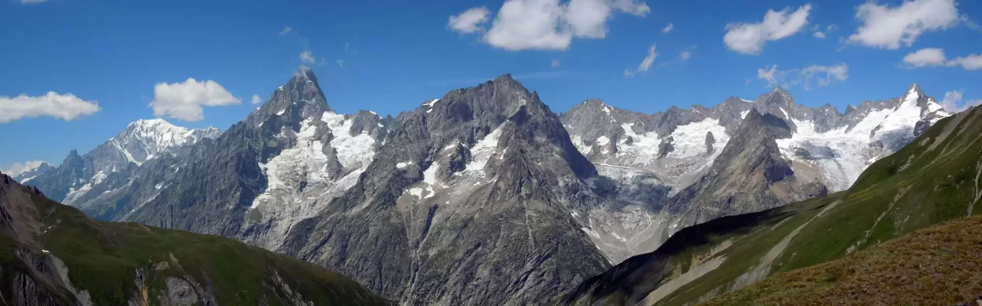
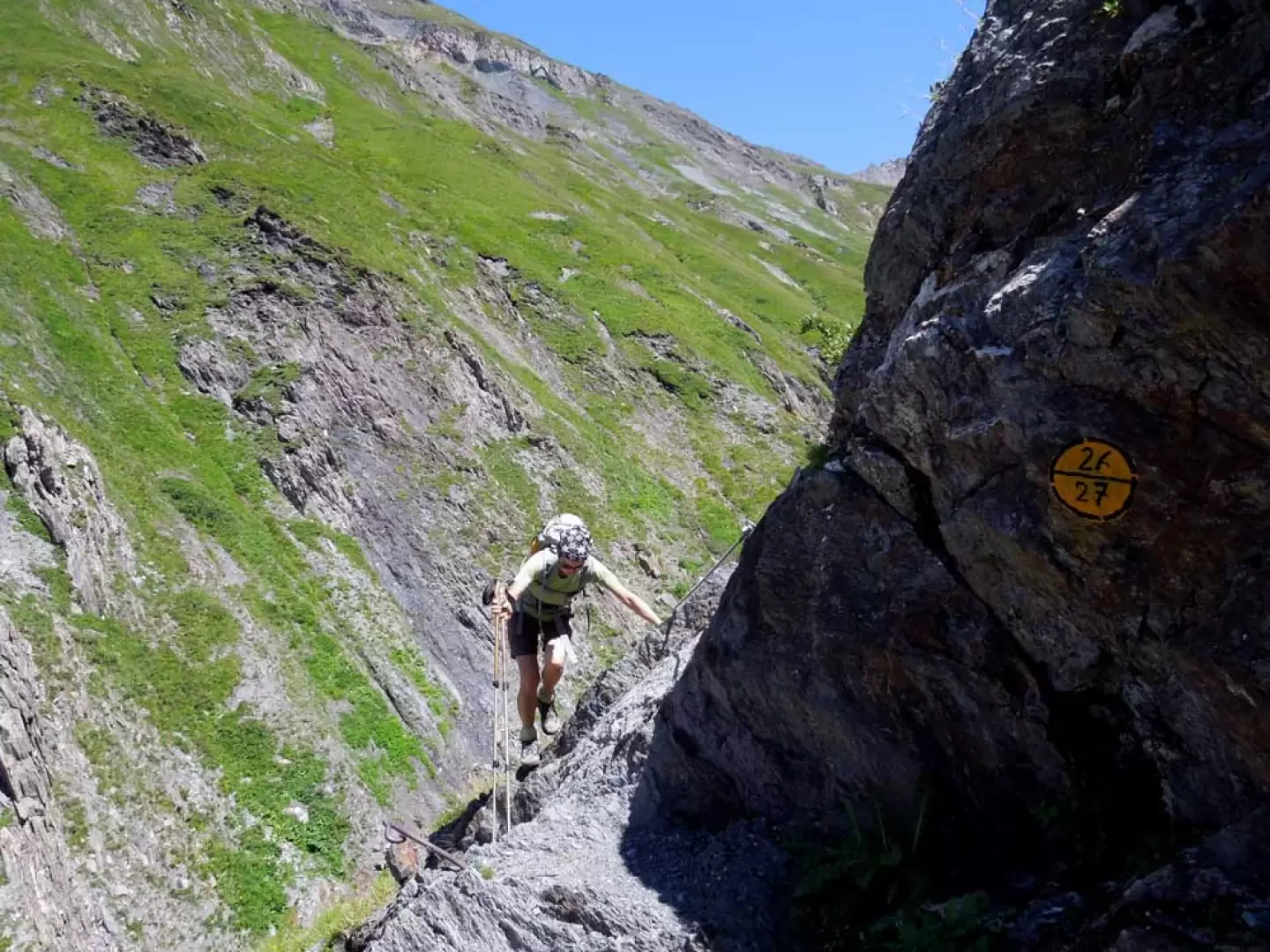
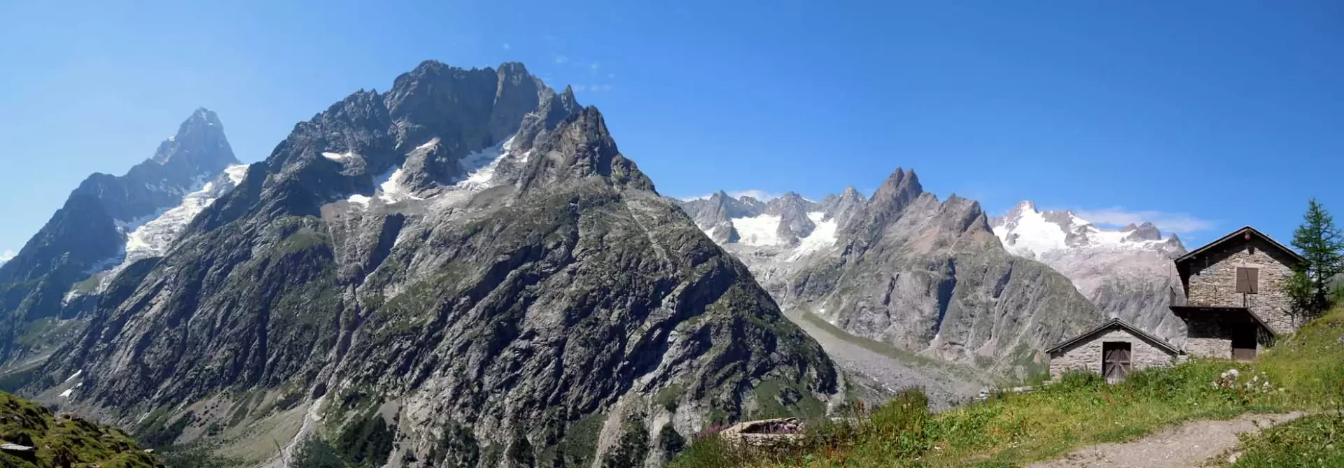
This beautiful and challenging circular walk takes you away from the crowds on the classic trails, through the upper Val Ferret, following the secluded and wild valleys of La Combette and Bella Comba, and leads you to a panoramic peak situated on the border with the upper Val Ferret in Switzerland. The first part of the route, in the Combette valley, presents no particular objective difficulties; these are concentrated solely on the exposed final ridge, where the terrain is somewhat slippery; in the second section, in the Bella Comba valley, you must be careful right from the start during the descent from the pass, which takes place on very crumbly ground with a long traverse across a very steep slope, followed by the descent down the steep grassy slopes and, last but not least, the most dangerous the ‘balcony path’, which is highly and continuously exposed, with secured sections at the most critical points. It is advisable not to undertake this route in fog or low cloud, due to the difficulty of finding your way across scree slopes and grassy slopes without a defined path, nor in rain or on wet ground, because of the dangerous sections on the ‘balcony path’: in which case it is definitely advisable to return via the ascent route. There is no shortage of panoramic views, particularly of the splendid mountain range stretching from Mont Blanc to Mont Dolent, without forgetting the Grand Combin and Mont Velan in Swiss territory.
Description
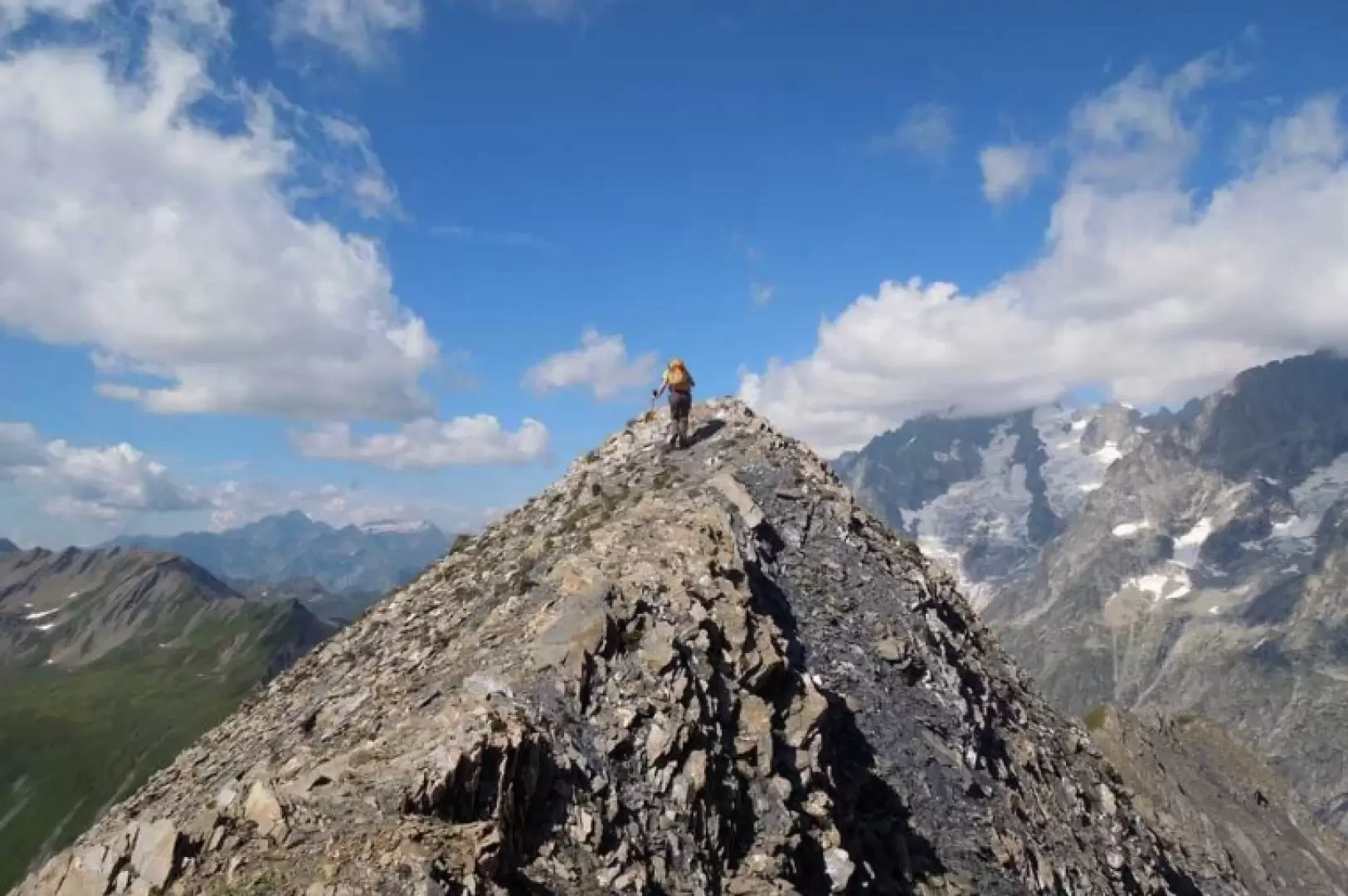
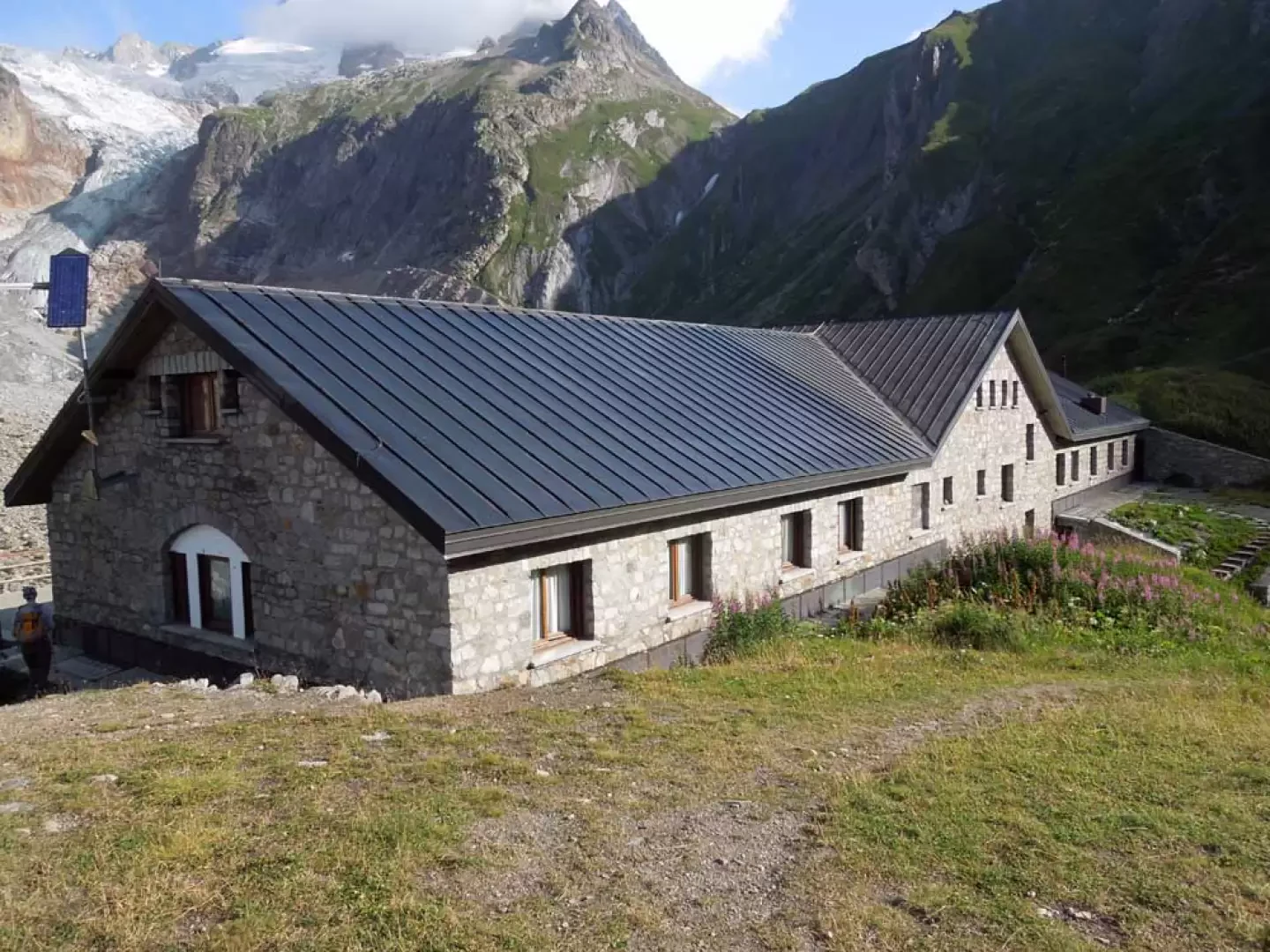
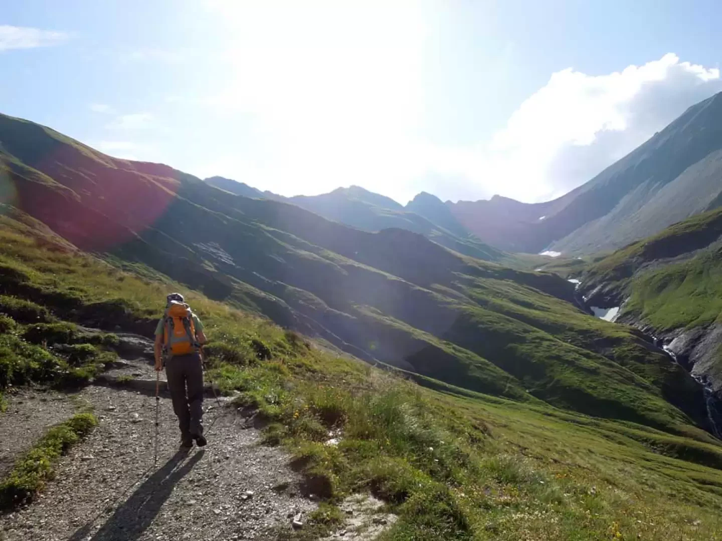
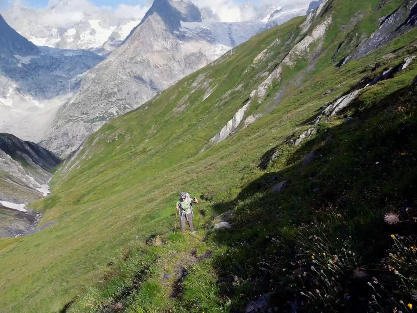
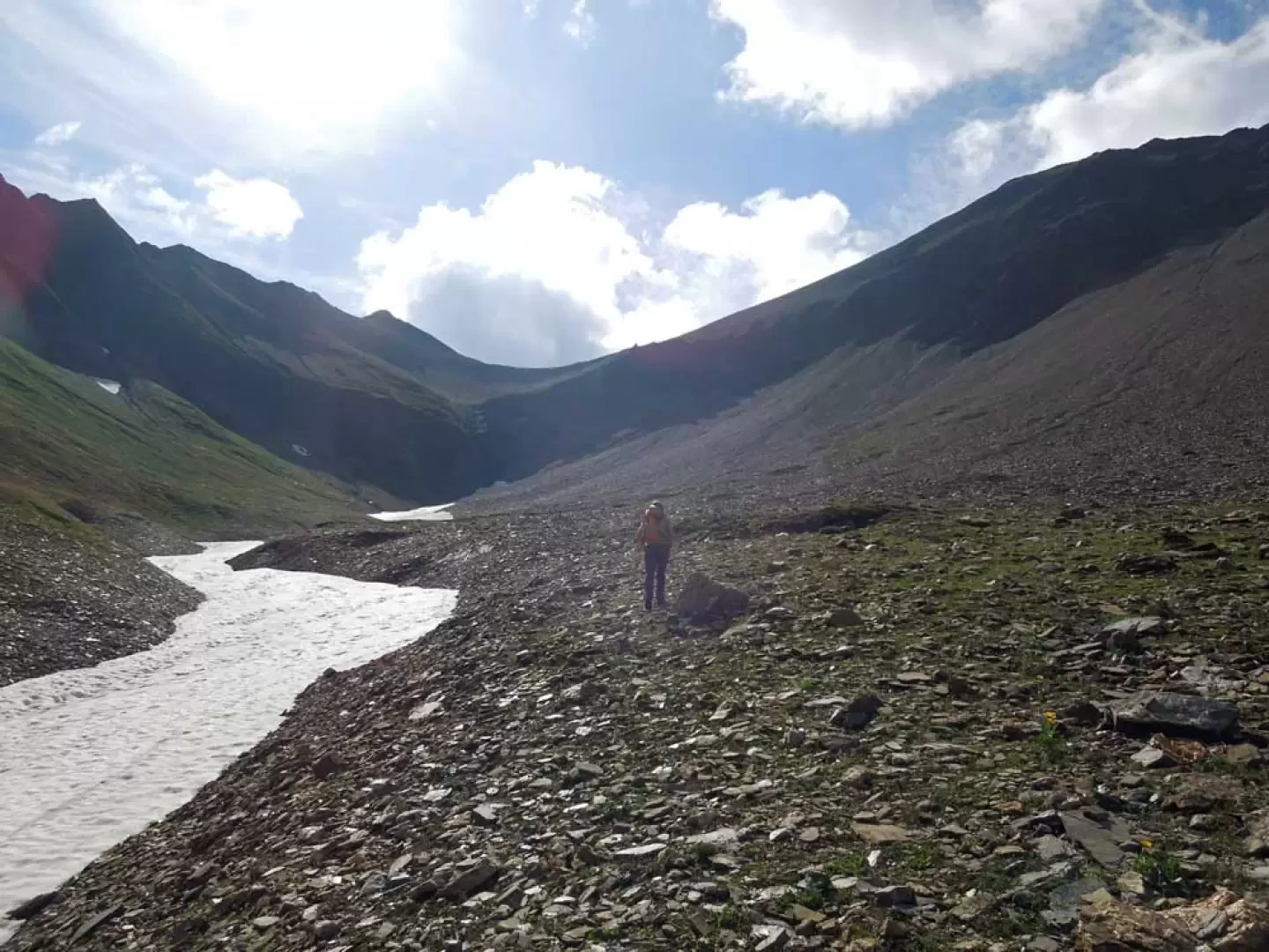
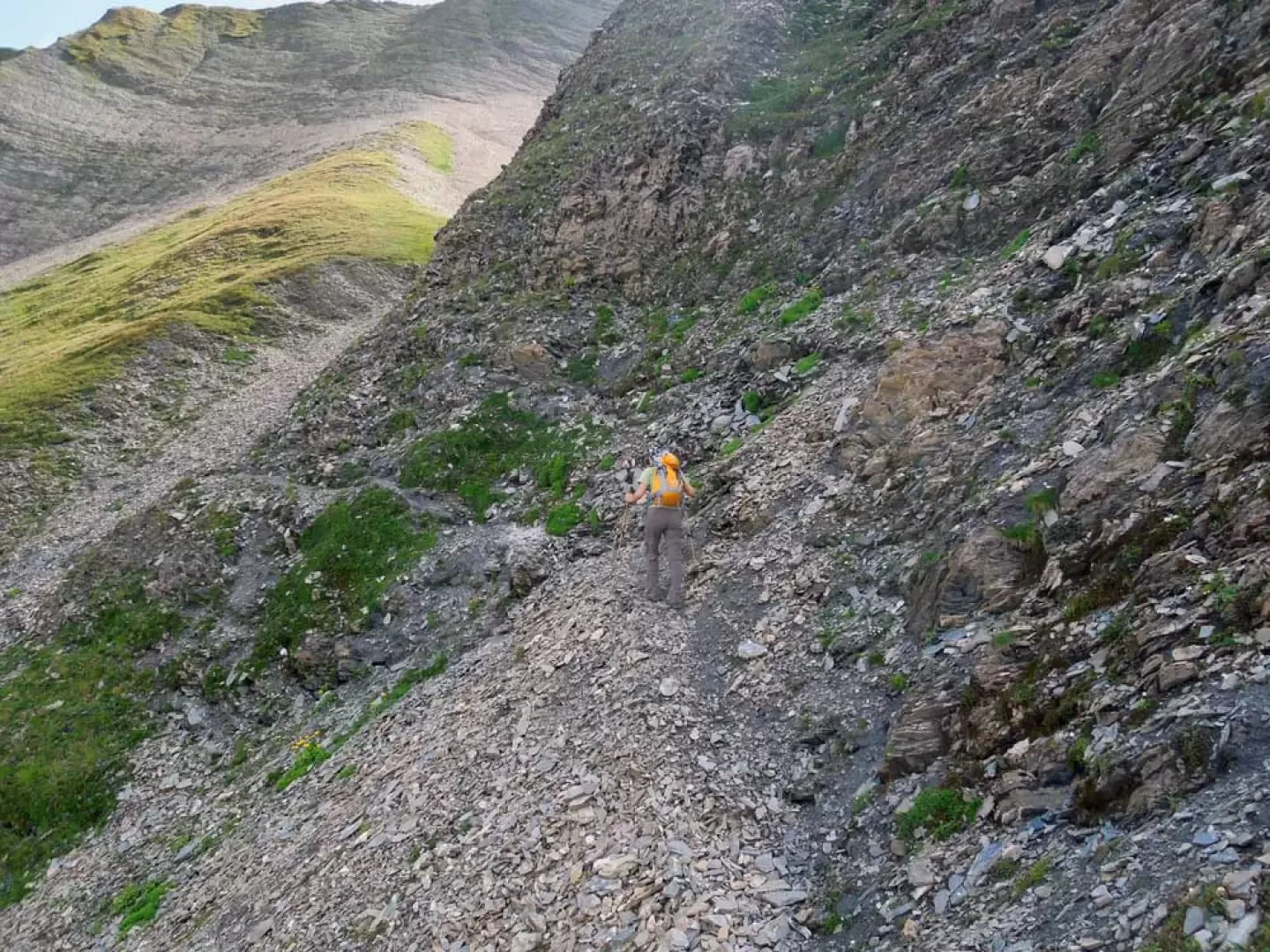
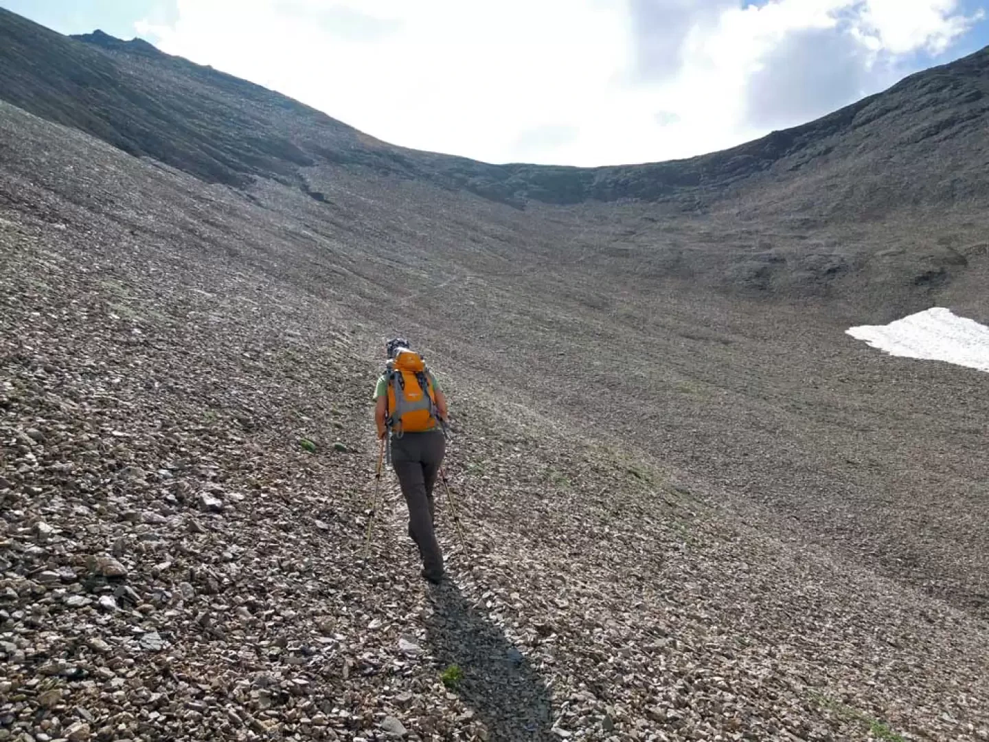
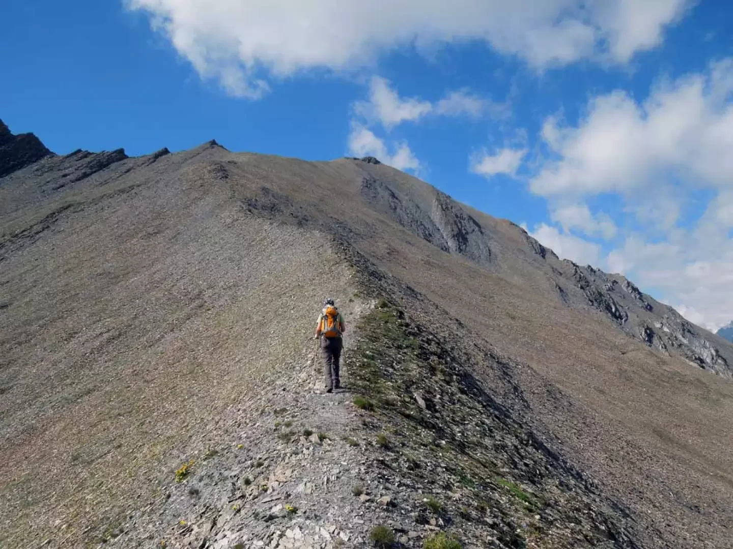
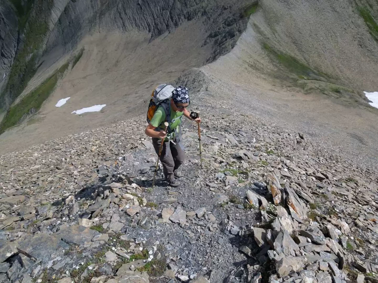
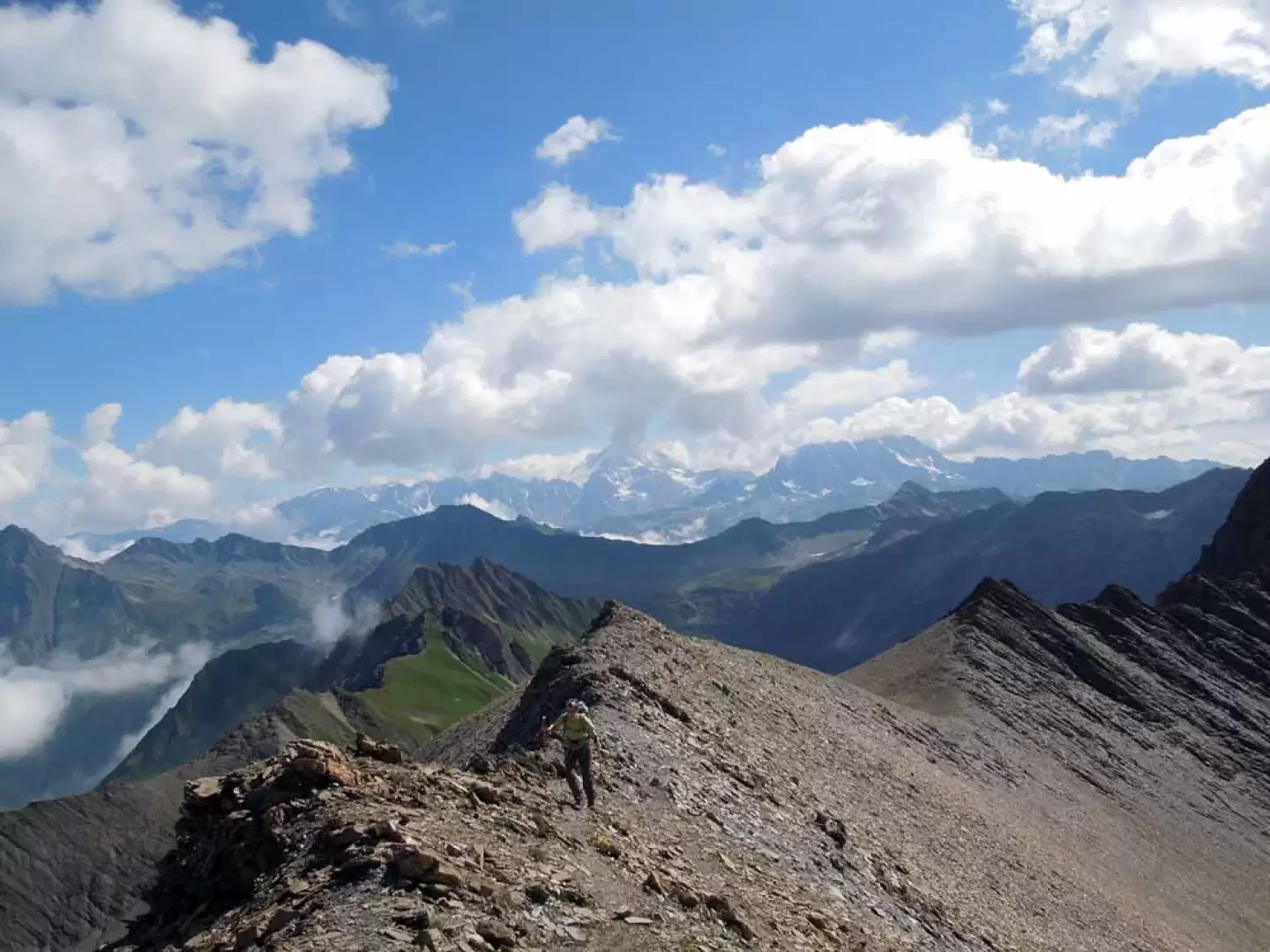
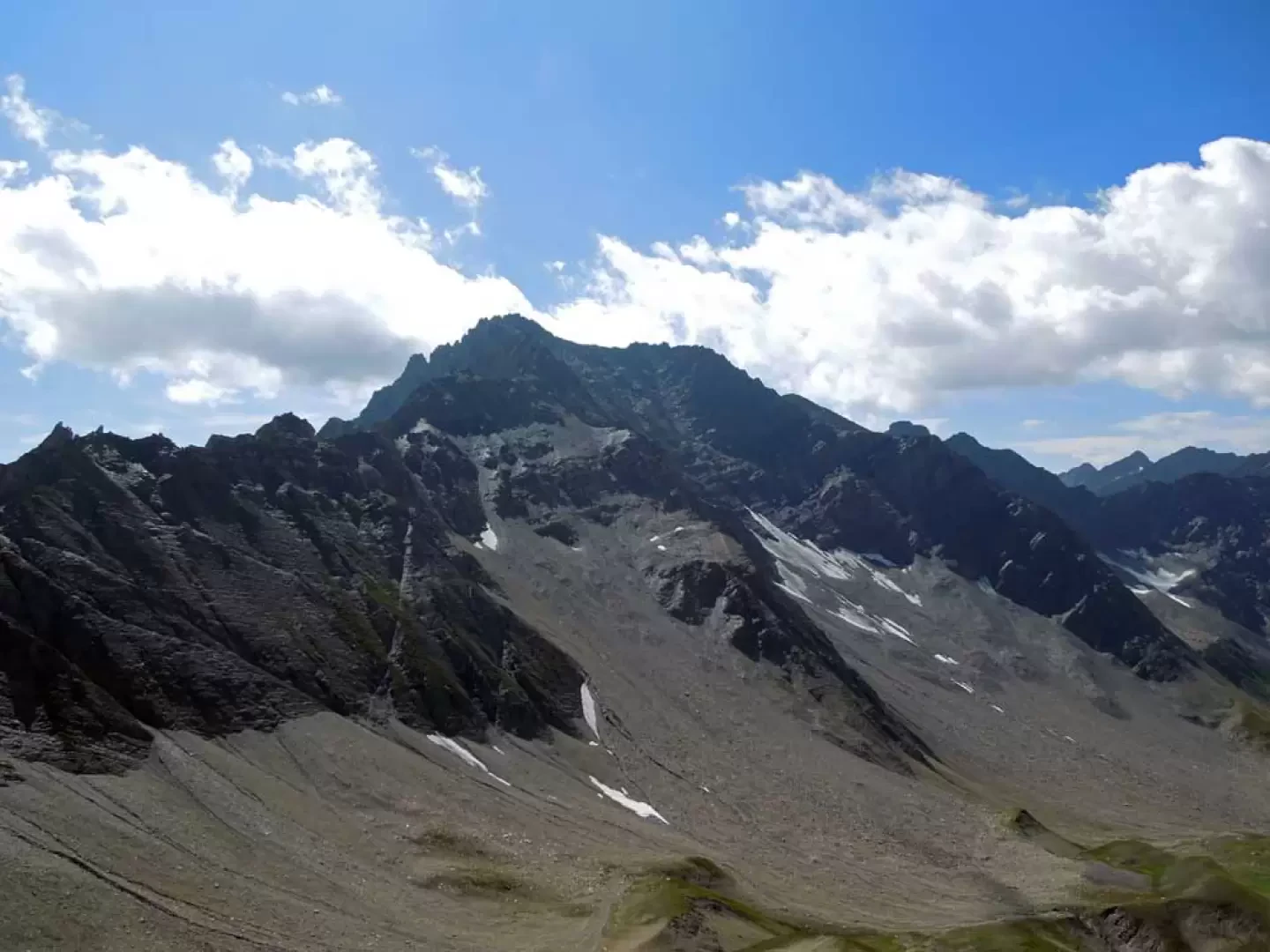
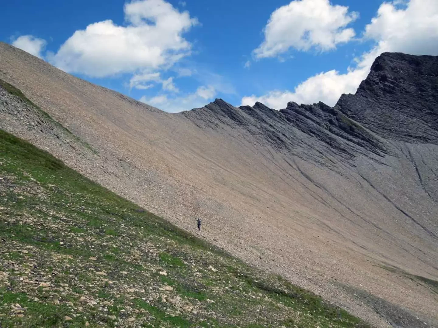
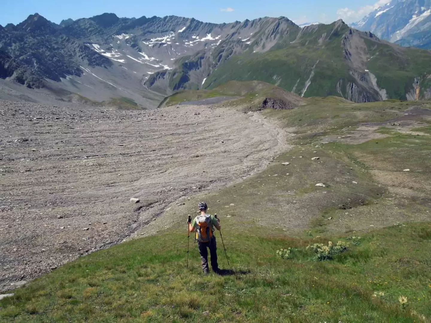
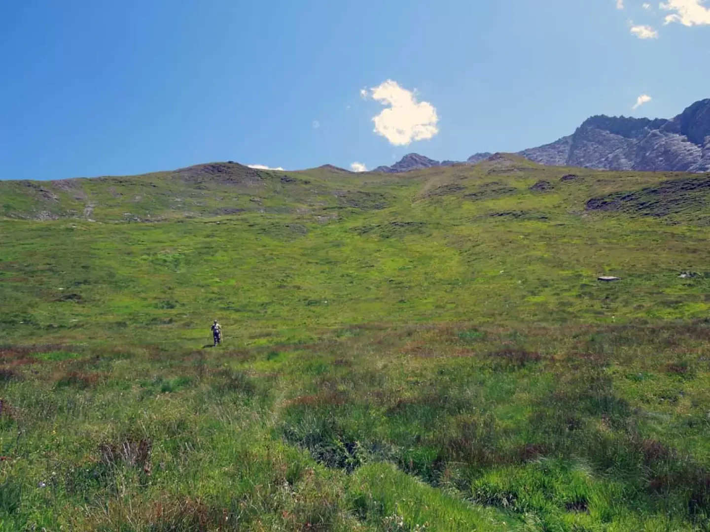
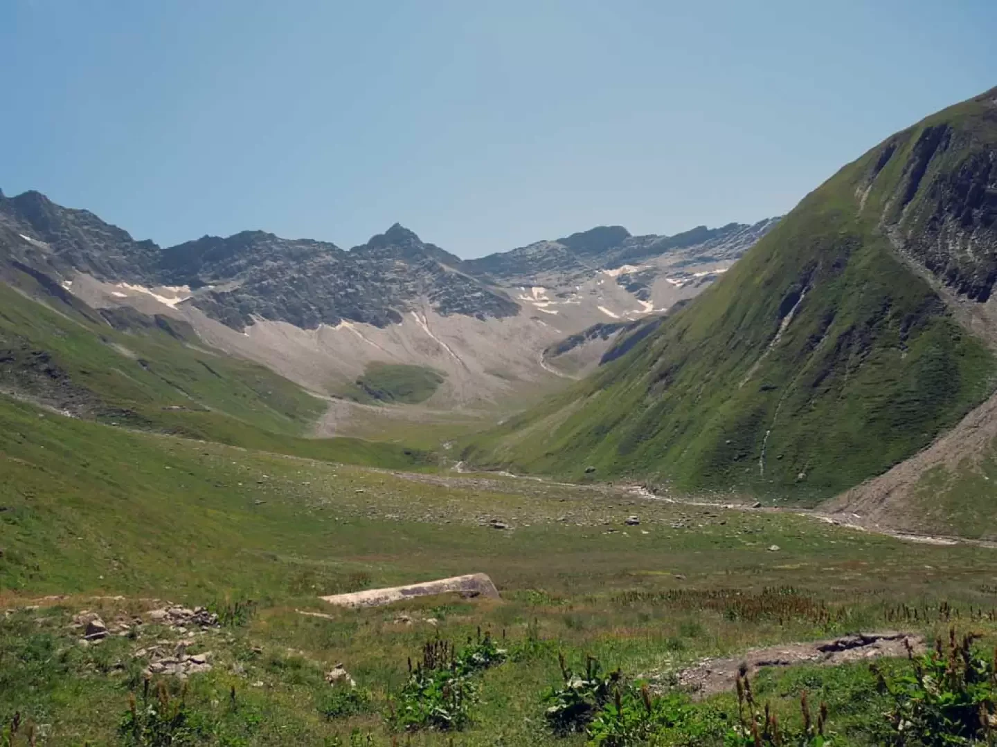
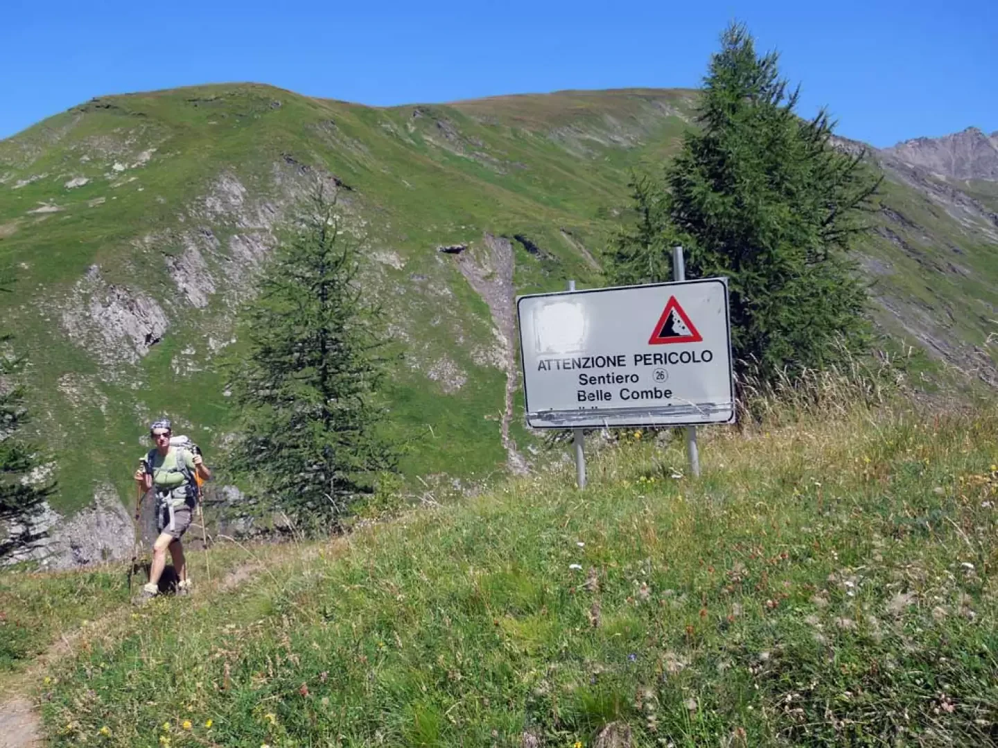
From the signposts, take the path that climbs to the left through the pastures, gaining altitude quickly with a few hairpin bends, before beginning a long traverse where the gradient eases, passing the ruined hut of Tsa de Jean (1902m); further on, you cross a stream via a wooden bridge and, once you’ve reached the grassy ridge, you arrive at the panoramic Elena mountain hut (2053m). Once past the refuge, you reach the signposts at the start of the path that branches off from the farm track and runs along the grassy slopes rising at the start of the Vallon de la Combette; after a few hairpin bends and a straighter stretch, you reach a sharp left-hand turn (2,316 m) where the path heads onto a broad ridge. Here, you leave the more clearly marked path to continue straight on, entering the valley and losing a few metres in altitude along a hillside route; following a faint track, head towards a small waterfall on a stream, which you cross via the meadows to the left (orographic right), reaching the upper plateau where you continue amongst low grassy hummocks, moving towards the centre. Now, with the grass cover having almost completely disappeared, head for a distinct scree gully at the bottom of this large debris-filled basin, following a few cairns and then, near the rock face, spotting a faint track that climbs amongst the loose stones; as you approach the gully, the track becomes more distinct and, as the gradient increases, it makes a series of hairpin bends which you climb with some effort. As you reach the end of the scree slope, continue for a short distance along a traverse over crumbly ground and then, with a short, steep stretch, reach the upper basin. Once there, head immediately left and climb a steep slope where, gradually veering to the right, you’ll find a track which, on a gentle incline, runs along the scree slope halfway up the hillside and heads towards the bottom of the cirque, where the wide Col du Ban Darrey saddle is situated; Upon reaching it (2,698 m), you step onto its narrow ridge and turn right, following it along a path that is initially gentle but then steepens slightly as it continues, leading to a small peak at the start of a rocky ridge. Staying to the right of this, and without reaching the pass opposite, you ascend the ridge, which is initially wider and easier to walk on but narrows as it rises; the path follows its very edge, consisting of scree, leaving you somewhat exposed on the left-hand side; following the exposed, straight ridge, you soon reach the first peak and then, via a short exposed stretch, the second, which is a couple of metres lower. Descending the ridge again, you reach a small pass (2,833 m) from which a track descends to the right, cutting across the stony and very steep slope below the summit, losing a little altitude over unstable loamy ground. You reach the grassy area directly below the summit, which leads to a ridge; descend freely along this ridge to the bottom of the cirque, where you turn right to reach a scree-covered plateau below, where you’ll find a cairn (2,629 m); continue to the grassy ridge bordering the plateau and, using the stream below as a reference point, descend without a fixed route along the slope – which is somewhat steep in places – either through the flatter sections of the ridges or along the gullies carved out by the streams. Once you have almost reached the bottom of the valley, you’ll come across a track (at around 2,260 m) which you follow, turning right to reach the ruined huts of Belle Combe desot (2,224 m) in a short while; from here, descend across the gently sloping pasture, gradually moving to the right until you first cross a wide, stony riverbed and then, continuing the descent, wade across the stream at the best point. On the opposite side, there is a path that descends, staying just above the stream, with a traverse through the low vegetation; almost immediately, the exposure increases significantly and becomes continuous as you walk above the stream’s gorge, encountering sections of crumbly ground and loose rocks, secured with fixed ropes at the most dangerous points. After this long stretch characterised by constant objective dangers, you round a grassy spur and, now walking on safe ground, reach the end of the difficult section, where you’ll find a sign warning ascending hikers of the dangers. After a few minutes, you reach the scenic Arnouva di Metien huts (2,019 m) where, a few metres further on, you’ll find signposts at a junction; here, take the path descending to the right; after about ten minutes, you reach another junction (1,938 m) and here too you take the path on the right which, after numerous hairpin bends, leads to the huts at the bottom of the valley; from there, cross the bridge on the right and, within a few minutes, completing the loop, you arrive back at the starting point.
Places of Interest
Arp Nouva dessous
Tsa de Jean
Elena Mountain Hut
Col du Ban Darrey
Aiguilles des Angroniettes
Belle Combe dessus
Belle Combe dessous
Arp Nouva dessus
Collections
Photo gallery
Comments (0)
Sign in to leave a comment